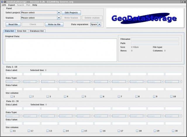
Earth Science Software
Soil Science Software v.1.0.0.2 beta
The Soil Science software is distributed as a self-extracting file. Main Features: - Initialization file for SelfTest program. - One question file for each week in course, 14 in all. - Practice determining soil texture.
GeoMapApp v.3.1.6
GeoMapApp is an earth science exploration and visualization software that is continually being expanded as part of the Marine Geoscience Data System (MGDS) at the Lamont-Doherty Earth Observatory of Columbia University.
World Wind Web Service Catalogs v.1.0
Provides easy access to geospatial imagery via web service catalogs. World Wind Web Service Catalogs offer you access to geospatial imagery with the aid of web service catalogs. NASAs Earth Science Gateway catalog,
GrADS v.2.0a7.oga.3
The Grid Analysis and Display System (GrADS) is an interactive desktop tool for easy access, manipulation, and visualization of earth science data.
GeoWell Editor v.2011.1
The GeoWell Editor is a stand-alone editor that simplifies the production of GEO_WELL data files for submission to California's GeoTracker system.
Science Project: Squeaker v.1.0
Squeaker is such a cute little mousey.
CableCalc BS7671 17th Edition v.5.0
Is a new and useful software that you can get it at low price on your computers. CableCalc BS7671 is a cable evaluation program fully compliant with BS7671:2008.
Making Waves v.5 40
Making Waves is an interactive wave construction set that allows students to create and explore situations involving any number of transverse and longitudinal waves. This software takes an interactive, visual approach to physics.

LeoFiles v.1 1
Pad enabled archive for software, shareware, freeware. Search and/or submit your own in variety categories like: Audio and Multimedia, Business, Communications, Desktop, Development, Education, Games and Entertainment, Graphic Applications,
Panoply v.3.1.4 Build C6U1
Panoply is a cross-platform software which plots geo-gridded arrays from netCDF, HDF and GRIB datasets. Panoply is an utility that enable user to plot raster image. Depending on the data,
MultiSpec v.2007.12.20
MultiSpec is a processing system for interactively analyzing Earth observational multispectral image data such as that produced by the Landsat series of Earth satellites and hyperspectral image data from current and future airborne and spaceborne sys